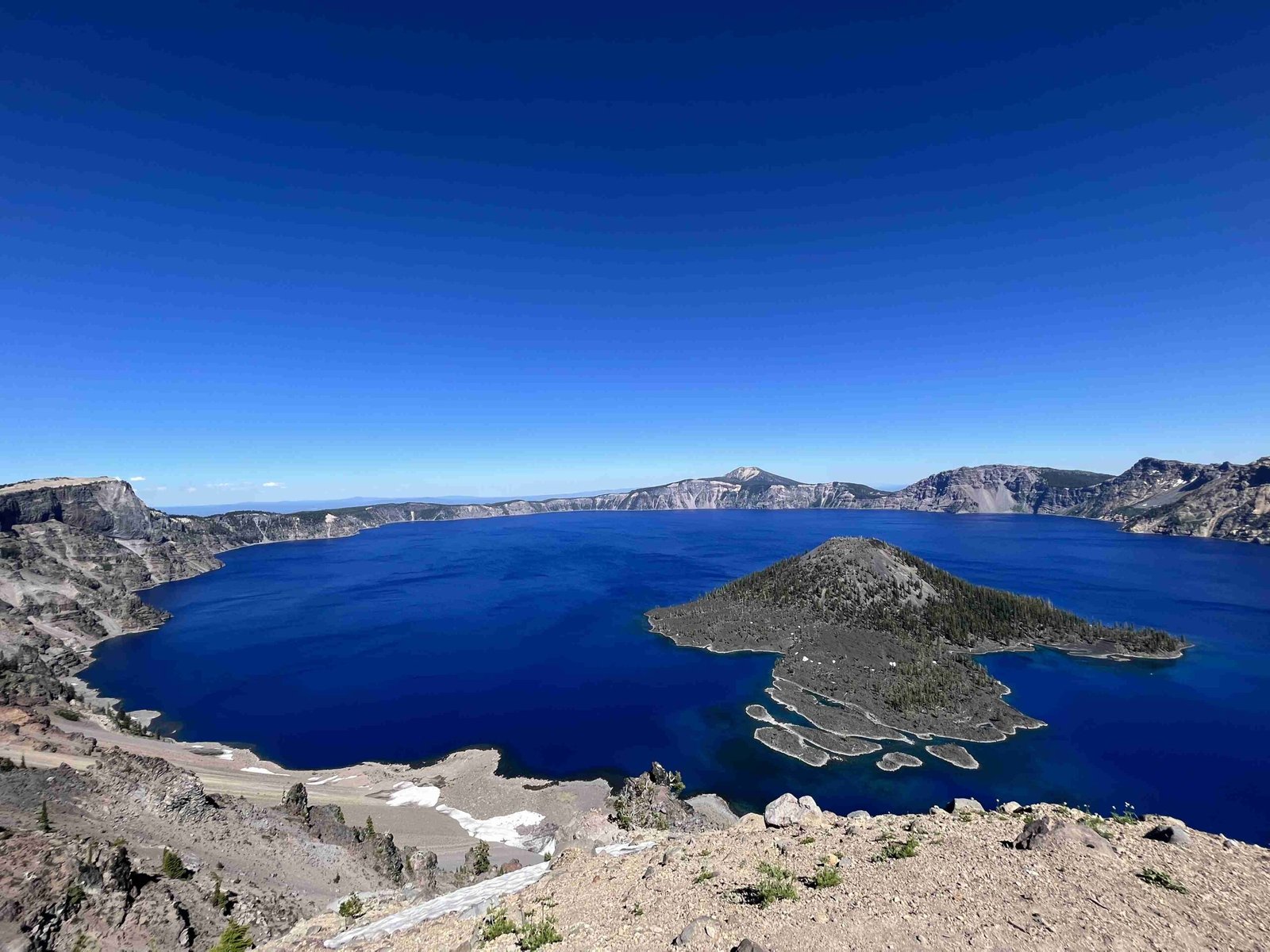
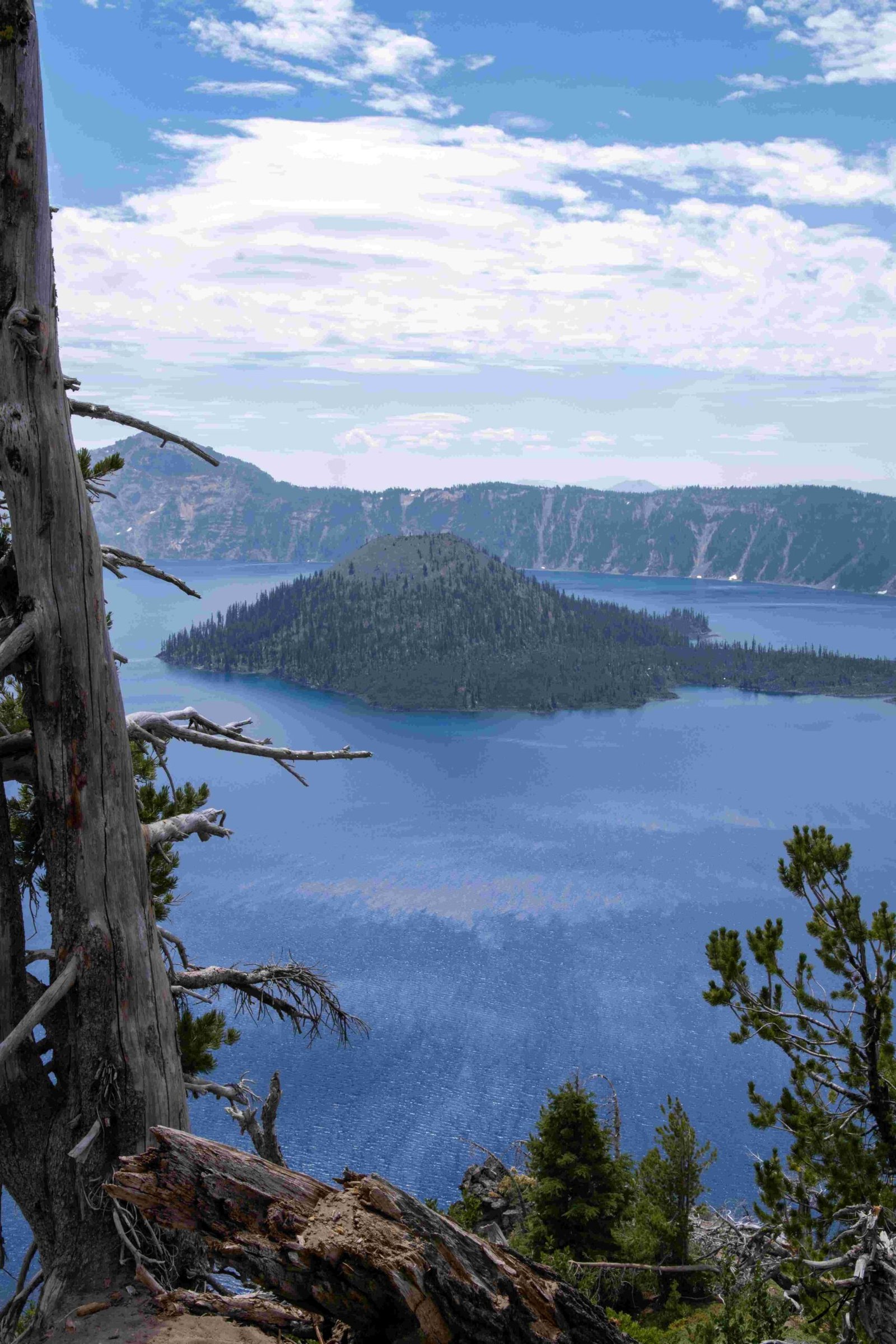
Crater Lake National Park, renowned for its deep blue waters and stunning vistas, transforms into a winter wonderland during the snowy months. However, this beauty comes with potential hazards, particularly in the form of avalanches. The park’s diverse terrain, ranging from 4,000 to 8,929 feet in elevation, creates numerous avalanche-prone areas. Understanding these zones is crucial for visitor safety. This guide delves into the specific avalanche areas within Crater Lake, current conditions, safety protocols, and winter recreation options.
Where Are the Main Avalanche Areas in Crater Lake National Park?

Crater Lake National Park’s avalanche areas are primarily concentrated in the higher elevation regions, particularly around the caldera rim. While specific zones aren’t officially designated, visitors should be aware of potential risk areas:
- Caldera Rim: Elevations between 7,000 to 8,000 feet
- Steep Slopes: Areas with inclines greater than 30 degrees
- Wizard Island: The cinder cone within the lake
- Mount Scott: The highest point in the park at 8,929 feet
| Area | Elevation Range | Avalanche Risk |
|---|---|---|
| Caldera Rim | 7,000 – 8,000 ft | High |
| Wizard Island | 6,940 – 7,303 ft | Moderate |
| Mount Scott | 7,000 – 8,929 ft | High |
| Lower Elevations | 4,000 – 6,000 ft | Low to Moderate |
How Do Weather Conditions Affect Avalanche Risk at Crater Lake?

Weather plays a crucial role in avalanche formation at Crater Lake:
- Heavy Snowfall: The park receives an average of 43 feet of snow annually, significantly increasing avalanche risk.
- Temperature Fluctuations: Rapid warming can destabilize snowpack.
- Wind: Strong winds can create cornices and wind slabs on leeward slopes.
To stay informed about current conditions:
- Check the official Crater Lake National Park website
- Consult the Northwest Avalanche Center for regional forecasts
- Contact park rangers at visitor centers for real-time updates
What Safety Equipment is Essential for Exploring Crater Lake’s Avalanche Areas?
When venturing into Crater Lake’s backcountry during winter, carry:
- Avalanche transceiver
- Shovel
- Probe
- First aid kit
- Emergency communication device (satellite phone or personal locator beacon)
- Extra warm clothing and food
Remember, having the equipment is not enough. Proper training in avalanche safety and rescue techniques is crucial.
Are There Guided Tours Available for Safe Winter Exploration?
Yes, Crater Lake National Park offers several guided options for safe winter exploration:
- Ranger-led Snowshoe Walks: Free 2-hour tours offered on weekends and holidays
- Cross-country Ski Tours: Guided tours of varying difficulty levels
- Winter Rim Village Tours: Informative walks around the caldera rim
These guided experiences provide:
– Expert knowledge of the area
– Safety instruction
– Interpretive information about the park’s geology and ecology
How Can Visitors Access Trail Information and Avalanche Forecasts?
To access up-to-date trail information and avalanche forecasts:
- Visit the Crater Lake National Park official website
- Stop by the Steel Visitor Center or Rim Village Visitor Center
- Check the Northwest Avalanche Center website for regional forecasts
- Download the Crater Lake National Park app for mobile access to maps and alerts
What Are the Best Winter Recreation Options in Crater Lake’s Safer Areas?
For those seeking winter activities in lower-risk areas:
- Cross-country Skiing:
- West Rim Drive (when closed to vehicles)
-
Hemlock Loop Trail
-
Snowshoeing:
- Garfield Peak Trail
-
Cleetwood Cove Trail
-
Snow Play Area:
- Designated area near Rim Village for sledding and snow play
| Activity | Location | Difficulty |
|---|---|---|
| Cross-country Skiing | West Rim Drive | Moderate |
| Snowshoeing | Garfield Peak Trail | Challenging |
| Snow Play | Rim Village Area | Easy |
Remember to always check current conditions and closures before planning your activities.
How Does Crater Lake National Park Manage Avalanche Risk?
Crater Lake National Park employs several strategies to manage avalanche risk:
- Monitoring: Regular assessment of snow conditions and weather patterns
- Closures: Temporary closure of high-risk areas
- Education: Providing visitor information on avalanche safety
- Signage: Posting warning signs in potentially dangerous areas
- Avalanche Control: Controlled triggering of avalanches in certain areas to reduce risk
Park rangers work diligently to balance visitor access with safety concerns, especially during the winter months when avalanche risk is highest.
By understanding Crater Lake’s avalanche areas, staying informed about current conditions, and following safety protocols, visitors can safely enjoy the park’s winter beauty. Always prioritize safety and be prepared when exploring Crater Lake’s snowy landscapes.
References:
1. Crater Lake National Park Topographic Map
2. Mount Mazama – Wikipedia
3. Crater Lake National Park – Wikipedia
4. Northwest Avalanche Center
5. Crater Lake National Park Official Website
