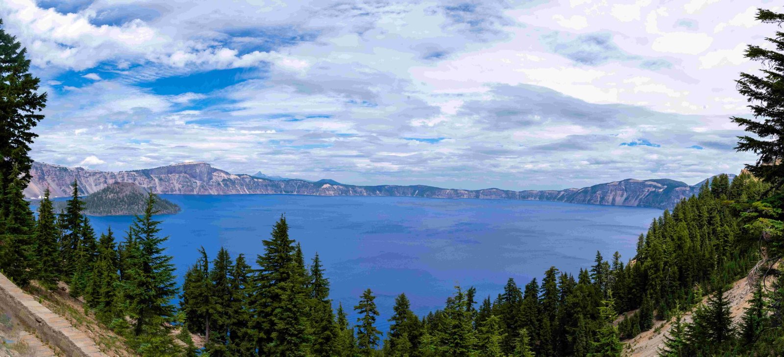
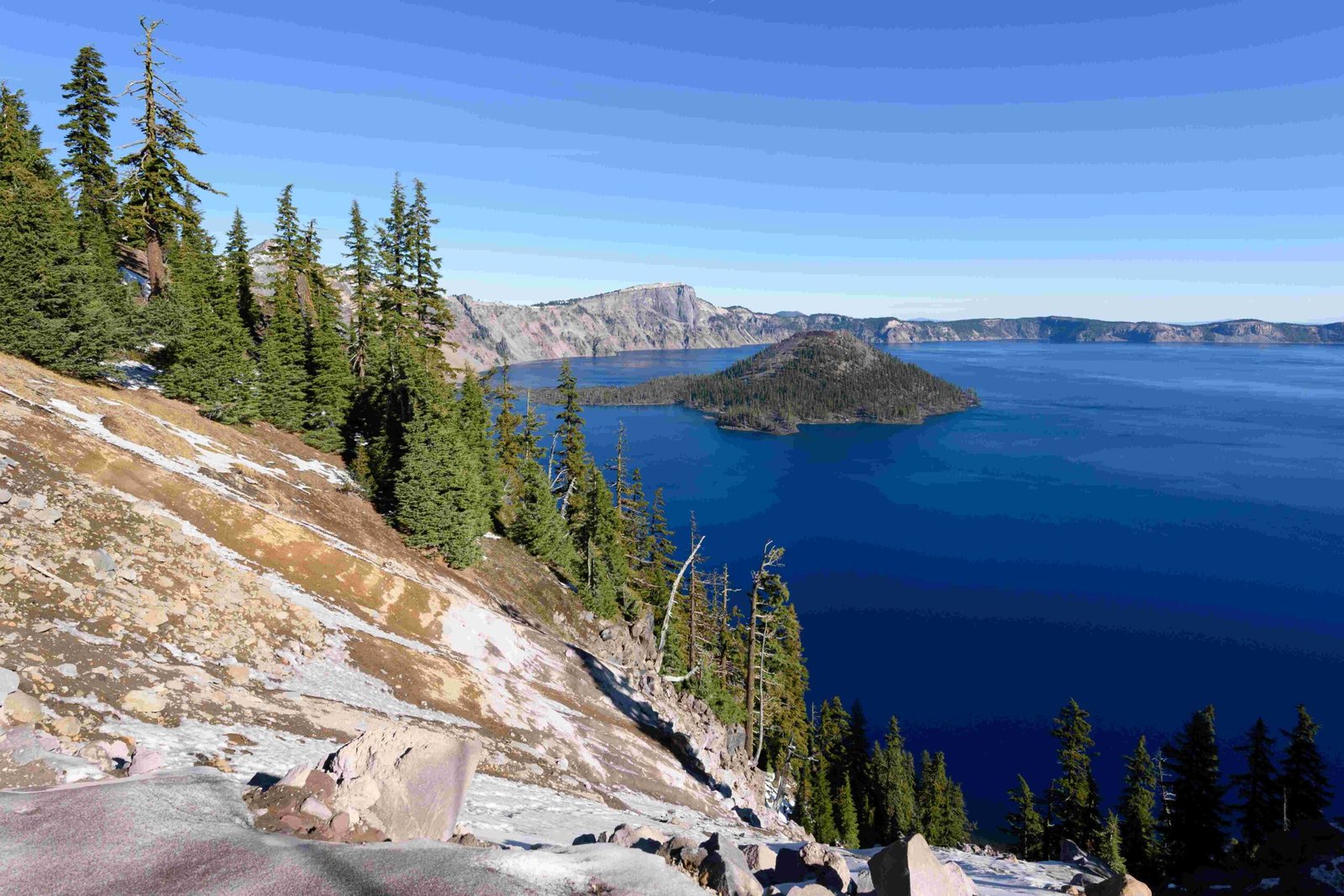
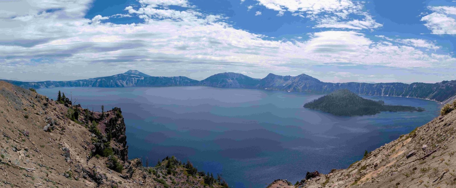
Crater Lake, renowned for its stunning beauty and deep blue waters, is also famous for its significant snowfall. The earliest snow at Crater Lake typically arrives in autumn, with the park receiving an average of 463.1 inches of snow annually. Historical records show variations in snowfall patterns, with some years experiencing exceptionally early and heavy snowfall. This article delves into the historical data, patterns, and unique characteristics of Crater Lake’s earliest snow events.
When Does the First Snow Typically Fall at Crater Lake?

The first snowfall at Crater Lake usually occurs in autumn, typically in October or early November. However, the exact timing can vary from year to year due to various meteorological factors. The park’s high elevation (6,178 feet at the rim) contributes to its early and abundant snowfall.
Historical First Snow Dates:
- Late September: Rare but possible
- October: Common for first measurable snowfall
- Early November: Latest typical first snow occurrence
What Are the Record-Breaking Earliest Snow Events at Crater Lake?

While specific dates for the earliest recorded snowfall are not readily available, historical data provides insights into exceptional snow years:
- Winter of 1932-33: Record snowfall of 879.0 inches
- Winter of 1949-50: Near-record snowfall of 885.1 inches
- March 20, 1952: Record snow depth of 224 inches on the ground
These events, while not necessarily the earliest, demonstrate the potential for significant early-season snowfall at Crater Lake.
How Has Climate Change Affected Crater Lake’s Earliest Snow?
Climate change has impacted snowfall patterns at Crater Lake:
- Historical average (early 1900s): 533 inches annually
- Current average: 463.1 inches annually
This decrease suggests a trend towards later first snowfall and potentially less early-season snow accumulation.
What Factors Contribute to Crater Lake’s Early Snow?
Several factors influence Crater Lake’s early and abundant snowfall:
- Elevation: The park’s high altitude leads to cooler temperatures.
- Geographic location: Proximity to the Pacific Ocean provides moisture.
- Aleutian Low: This weather pattern brings significant snowfall to the region.
- Cascade Range: Moist air cools as it rises over the mountains, leading to precipitation.
How Does Crater Lake’s Earliest Snow Compare to Other National Parks?
Crater Lake’s snowfall is exceptional compared to many other national parks:
| National Park | Average Annual Snowfall |
|---|---|
| Crater Lake | 463.1 inches |
| Yellowstone | 150 inches |
| Yosemite | 95 inches (at 4,000 ft) |
| Grand Canyon | 58 inches (North Rim) |
This comparison highlights Crater Lake’s unique position as one of the snowiest places in the United States.
What Should Visitors Expect During Early Snow Season at Crater Lake?
Early snow season at Crater Lake offers unique experiences and challenges:
- Limited accessibility to certain areas of the park
- Potential closures of trails and facilities
- Opportunities for winter activities like snowshoeing and cross-country skiing
- Breathtaking views of snow-covered landscapes
Visitors should be prepared for:
– Cold temperatures
– Rapidly changing weather conditions
– Deep snow on trails and roads
How Does Crater Lake’s Earliest Snow Affect the Ecosystem?
The early and abundant snowfall at Crater Lake plays a crucial role in the park’s ecosystem:
- Water supply: Snowmelt feeds the lake and surrounding watersheds.
- Plant life: Early snow protects dormant plants from extreme cold.
- Wildlife: Some animals adapt their behaviors based on early snow arrival.
- Fire prevention: Early snow can help reduce wildfire risks.
What Are the Challenges of Measuring Crater Lake’s Earliest Snow?
Accurately measuring Crater Lake’s earliest snow presents several challenges:
- Remote location: Limited accessibility for regular measurements.
- Rapid weather changes: Snow can melt quickly in early season.
- Wind effects: Strong winds can redistribute snow, affecting measurements.
- Equipment limitations: Some measuring devices may not function well in extreme cold.
How Has Technology Improved Tracking of Crater Lake’s Earliest Snow?
Advancements in technology have enhanced the ability to track and measure Crater Lake’s earliest snow:
- Satellite imagery: Provides broad coverage of snow extent
- Automated weather stations: Offer real-time data on snowfall and depth
- SNOTEL sites: Monitor snowpack and water content
- LiDAR technology: Allows for precise snow depth measurements
These tools provide more accurate and timely information about snow conditions at Crater Lake.
In conclusion, Crater Lake’s earliest snow is a fascinating phenomenon that shapes the park’s ecology, visitor experiences, and regional hydrology. While exact dates for the earliest snowfall may vary, the park’s consistent pattern of early and abundant snow makes it a unique destination for winter enthusiasts and researchers alike. As climate patterns continue to evolve, monitoring and understanding Crater Lake’s earliest snow will remain crucial for park management and scientific study.
References:
1. NPS History – Crater Lake National Park: Nature Notes (1952)
2. Crater Lake Institute – Smith History – 102 News from 1949 Lake Freezes
3. NPS History – Crater Lake

