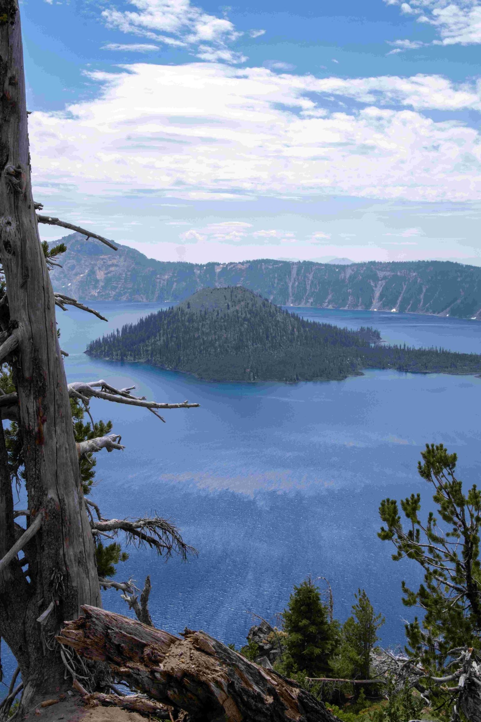
Crater Lake, located in Oregon, is renowned for its exceptional depth and pristine blue waters. The crater lake depth chart reveals a maximum depth of 1,949 feet (594 meters), making it the deepest lake in the United States and the ninth deepest globally. This volcanic caldera lake, formed approximately 7,700 years ago, boasts a mean depth that ranks it third worldwide. The lake’s bathymetry, mapped in 2000 using advanced multibeam sonar technology, unveiled intricate underwater features and a complex topography that continues to fascinate researchers and visitors alike.
What Are the Key Features of Crater Lake’s Depth Chart?

The crater lake depth chart showcases several remarkable characteristics:
- Maximum depth: 1,949 feet (594 meters)
- Average depth: Ranks third globally by mean depth
- No rivers flowing in or out
- Water level maintained by precipitation and evaporation balance
- Detailed underwater topography, including:
- Central platform volcano
- Submerged shorelines of Wizard Island
- Sinuous lava flows
How Was the Crater Lake Depth Chart Created?

The creation of the crater lake depth chart involved sophisticated technology and collaborative efforts:
- Multibeam sonar system used in 2000
- Over 16 million soundings collected
- Spatial resolution of 2 meters achieved
- Data calibrated and co-registered with acoustic backscatter
- Collaboration between:
- U.S. Geological Survey
- National Park Service
- Center for Coastal and Ocean Mapping at the University of New Hampshire
What Unique Underwater Features Does the Depth Chart Reveal?
The crater lake depth chart unveils a fascinating underwater landscape:
- Wizard Island:
- Cinder cone with older submerged shorelines
- Steep underwater talus slopes
-
Gently sloping bench around the island
-
Central Platform Volcano:
- Breaks in slopes indicating past shorelines
-
Complex topography
-
Sinuous Lava Flows:
- Visible on the lake floor
- Provide insights into volcanic activity
How Does Crater Lake’s Depth Compare to Other Lakes?
Crater Lake’s exceptional depth sets it apart from many other lakes:
| Rank | Aspect | Global Standing |
|---|---|---|
| 1st | Deepest lake in the USA | – |
| 9th | Deepest lake globally (by maximum depth) | 1,949 feet (594 meters) |
| 3rd | Deepest lake globally (by mean depth) | – |
What Challenges Were Faced in Mapping Crater Lake’s Depth?
Mapping Crater Lake’s depth presented several challenges:
- Large body of water: Covering an area of about 21 square miles
- Extreme depth: Requiring specialized equipment for accurate measurements
- Data accuracy: Ensuring precision over vast depths and varied topography
- Coordination: Managing multi-agency collaboration
- Technology limitations: Overcoming constraints of underwater mapping tools
How Can Visitors Learn About Crater Lake’s Depth?
Visitors to Crater Lake National Park have several options to explore and understand the lake’s depth:
- Rim Village:
- Offers viewpoints
-
Provides educational resources
-
Visitor Centers:
- Display detailed bathymetric maps
-
Offer information about lake formation and geology
-
Guided Tours:
- Ranger-led programs
-
In-depth explanations of underwater features
-
Educational Materials:
- Available at park facilities
-
Accessible through the official National Park Service website
-
Boat Tours (seasonal):
- Provide on-water perspective of lake depth
- Offer insights into underwater topography
What Scientific Value Does the Crater Lake Depth Chart Provide?
The crater lake depth chart offers significant scientific value:
- Geological Insights:
- Volcanic history of the region
-
Formation processes of caldera lakes
-
Hydrological Studies:
- Water balance mechanisms
-
Lake ecosystem dynamics
-
Climate Research:
- Long-term water level changes
-
Impact of climate on closed-basin lakes
-
Biological Investigations:
- Habitat mapping for aquatic life
-
Depth-related ecological zones
-
Volcanic Hazard Assessment:
- Understanding potential future volcanic activity
- Monitoring for changes in lake floor topography
How Has the Crater Lake Depth Chart Evolved Over Time?
The crater lake depth chart has seen advancements:
- Early Measurements:
- Basic soundings in the late 19th century
-
Limited accuracy and coverage
-
Mid-20th Century:
-
Improved techniques but still incomplete
-
2000 Survey:
- High-resolution multibeam sonar mapping
-
Comprehensive coverage of lake floor
-
Ongoing Monitoring:
- Regular depth checks for potential changes
- Integration with other environmental data
What Future Research Could Enhance Our Understanding of Crater Lake’s Depth?
Future research possibilities for Crater Lake’s depth include:
- Advanced Imaging Techniques:
- Higher resolution mapping
-
3D visualization of underwater features
-
Long-term Monitoring:
- Detecting subtle changes in lake depth over time
-
Assessing impact of climate change
-
Underwater Exploration:
- ROV missions to study specific features
-
Sampling of lake floor sediments
-
Integration with Other Data:
- Combining depth data with water chemistry, biology, and geology
-
Creating a comprehensive model of the lake ecosystem
-
Public Engagement:
- Developing interactive depth chart tools for education
- Virtual reality experiences of underwater Crater Lake
The crater lake depth chart continues to be a valuable resource for scientists, park managers, and visitors alike. It not only reveals the extraordinary depth of this natural wonder but also provides a window into the geological history and ongoing processes that shape Crater Lake. As technology advances, our understanding of this unique aquatic environment will undoubtedly deepen, offering new insights into one of America’s most treasured natural landmarks.

