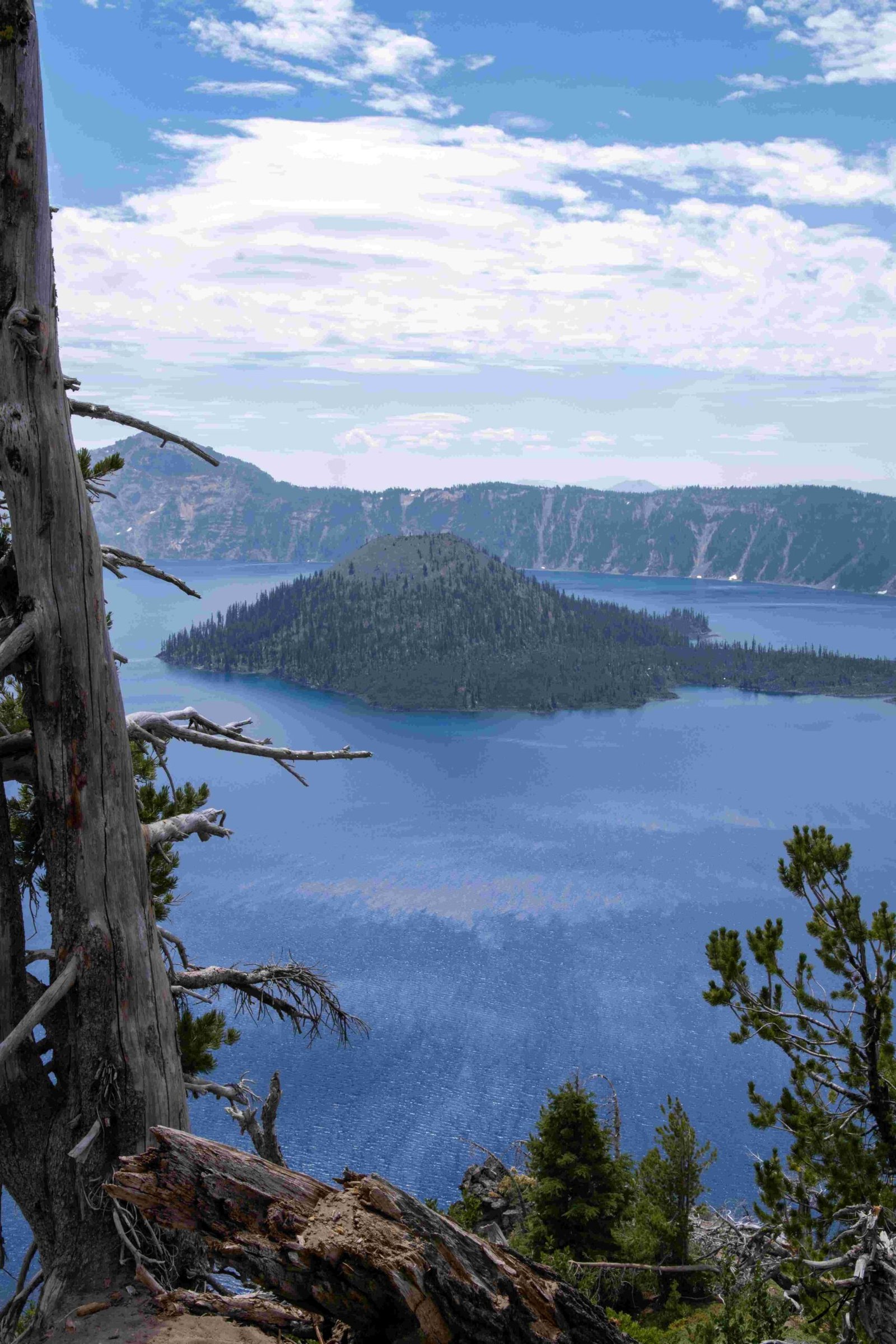
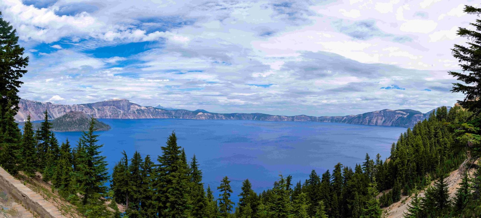
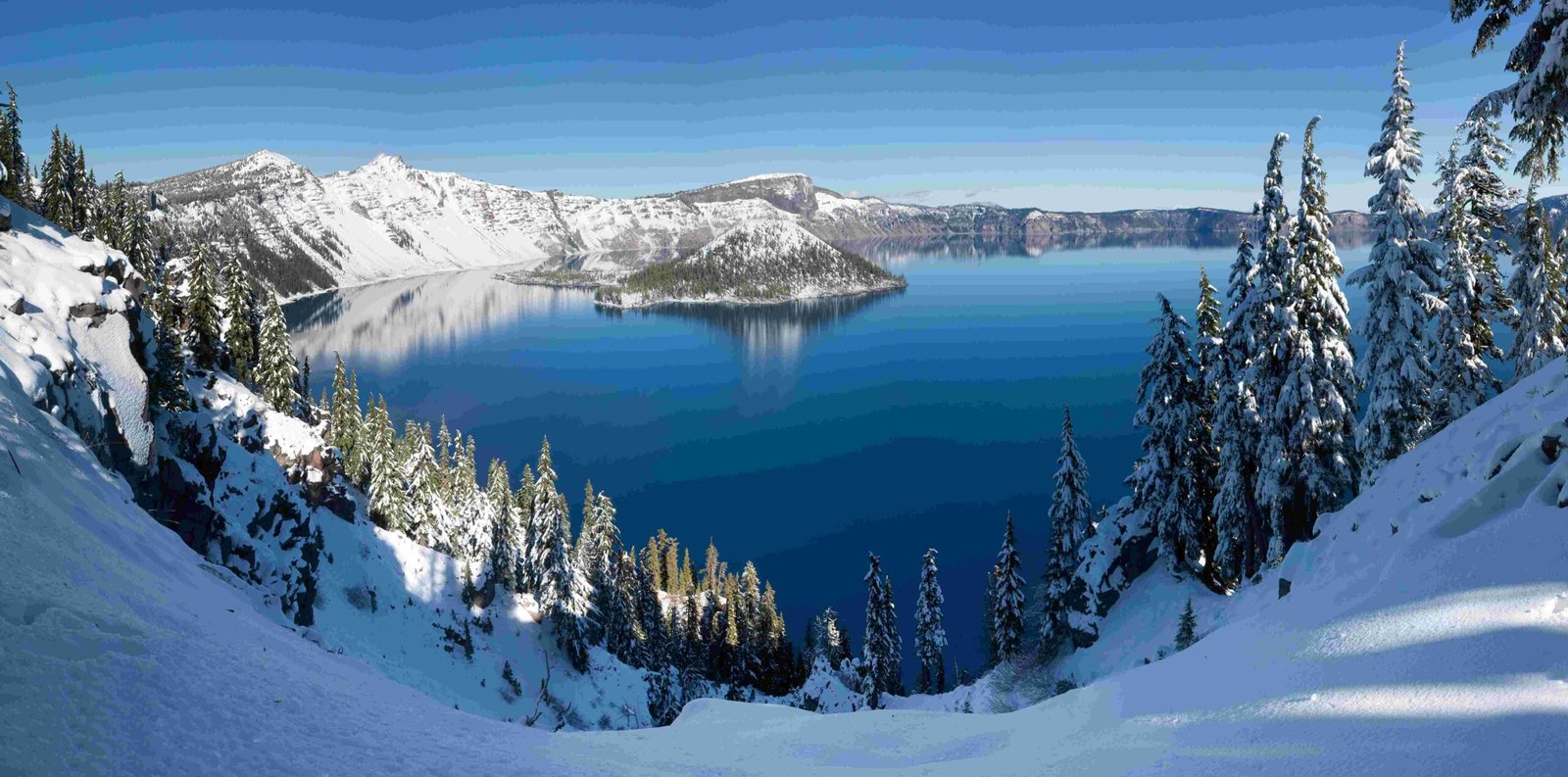
Crater Lake, formed by the collapse of Mount Mazama over 7,700 years ago, is a natural wonder best appreciated from afar. Its deep blue waters, surrounded by steep cliffs, offer breathtaking views from various vantage points. This article explores the best ways to experience Crater Lake from a distance, including optimal viewpoints, photography tips, and topographical insights.
What Are the Best Vantage Points for Viewing Crater Lake from Afar?

Crater Lake offers several exceptional vantage points for those seeking to appreciate its beauty from afar:
- Rim Village Promenade & Sinnott Memorial Viewpoint
- Easy 0.4-mile walk
- No significant elevation change
- Classic view of Crater Lake
-
Popular between 10 AM and 3 PM
-
Discovery Point Trail
- 2.1-mile out-and-back trail
- Stunning views along entire route
- Starts near Rim Village Visitor Center
-
Relatively flat with a short hill near the overlook
-
Watchman Peak
- 1.6-mile round-trip hike
- 420-foot elevation gain
- Panoramic views of lake and Wizard Island
-
Historic fire lookout at the summit
-
Cloudcap Overlook
- Highest paved road in Oregon
- Expansive views of Crater Lake and surroundings
- Excellent spot for sunset viewing
When Is the Best Time to View Crater Lake from Afar?

The optimal times to view Crater Lake from afar are:
- Early Morning: Soft, golden light and fewer crowds
- Late Afternoon to Sunset: Dramatic lighting and colorful reflections on the lake
| Time of Day | Lighting Conditions | Crowd Level |
|---|---|---|
| Early Morning | Soft, golden light | Low |
| Midday | Bright, harsh light | High |
| Late Afternoon | Warm, dramatic light | Moderate |
| Sunset | Colorful reflections | Moderate to High |
How Can I Capture Crater Lake from Above?
Drone Photography
For aerial photography of Crater Lake, consider the following:
- Ideal Altitudes: 100 to 500 feet above the lake’s surface
- Specific Angles:
- Panoramic views capturing the lake, Wizard Island, and surrounding caldera
- Low-angle shots over the water to highlight shoreline and water color contrast
Important: Always check National Park Service regulations and obtain necessary permits before flying a drone in the park.
Satellite Imagery
Several platforms offer satellite imagery of Crater Lake:
- NASA Earth Observatory
- USGS EarthExplorer
- Google Earth
These resources provide high-resolution imagery, with resolutions as high as 1-2 meters per pixel. They also offer access to historical imagery, allowing for topographical analysis over time.
What Are the Key Topographical Features of Crater Lake?
Crater Lake boasts several notable topographical features:
- Depth: 1,943 feet (deepest lake in the United States)
- Diameter: Approximately 4.9 miles (7.9 km)
- Surrounding Elevation: Caldera rim ranges from 7,000 to 8,000 feet above sea level
Notable geological formations include:
- Wizard Island: A cinder cone volcano visible from many vantage points
- Mount Mazama: The collapsed volcano that formed Crater Lake
How Can I Plan My Visit to View Crater Lake from Afar?
To make the most of your visit to view Crater Lake from afar:
- Choose your preferred vantage point based on physical ability and time constraints
- Plan your visit during optimal lighting conditions (early morning or late afternoon)
- Bring appropriate gear:
- Camera or smartphone for photography
- Binoculars for detailed viewing
- Warm layers, as temperatures can be cooler at higher elevations
- Check park regulations and obtain any necessary permits, especially for drone photography
- Consider visiting during shoulder seasons (late spring or early fall) for fewer crowds
By following these tips, you’ll be well-prepared to experience the awe-inspiring beauty of Crater Lake from afar.

