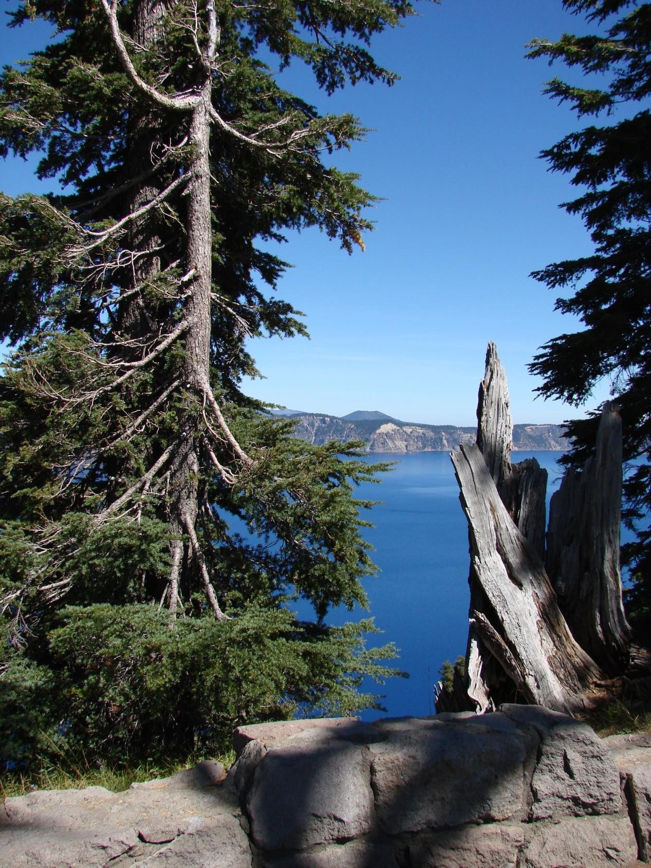
The Crater Lake Scott Summit Route is a challenging 4.4-mile out-and-back trail that offers breathtaking views of Crater Lake and the surrounding Cascade Range. This moderate to difficult hike ascends Mount Scott, the highest point in Crater Lake National Park, reaching an elevation of 8,929 feet. The trail features diverse terrain, from open pumice fields to dense forests, culminating in steep switchbacks that lead to a fire lookout at the summit.
What is the Trail Length and Terrain of the Crater Lake Scott Summit Route?

The Crater Lake Scott Summit Route is a 4.4-mile round trip hike that takes hikers through varied terrain:
- First 0.25 miles: Open pumice field
- Next 0.75 miles: Forest of mountain hemlock, whitebark pines, and Shasta red firs
- Middle section: Mix of open pumice and forested areas
- Final stretch: Steep switchbacks on the south face of Mount Scott
The trail begins relatively flat but gradually increases in steepness, with the most challenging sections near the summit.
How Difficult is the Crater Lake Scott Summit Route?

The Crater Lake Scott Summit Route is considered moderate to difficult due to several factors:
- Elevation Gain: 1,250-1,275 feet over 2.2 miles to the summit
- Average Completion Time: 2 hours and 34 minutes at a 2.3 mph pace
- Technical Challenges:
- Steep drop-offs, especially on the final switchback
- Narrow trail sections carved into rock faces
- Potential for icy conditions in fall, particularly in shaded areas
While the trail length is manageable, the elevation gain and technical sections make this a challenging hike for many visitors.
What is the Elevation Profile of the Crater Lake Scott Summit Route?
The elevation profile of the Crater Lake Scott Summit Route is as follows:
| Location | Elevation |
|---|---|
| Trailhead | 7,625 feet (2,324 meters) |
| Summit | 8,929 feet (2,721 meters) |
| Total Elevation Gain | 1,250-1,275 feet |
The most significant elevation changes occur during the switchback sections near the summit. Hikers should be prepared for a steady climb throughout the entire route.
When is the Best Time to Hike the Crater Lake Scott Summit Route?
The optimal time to hike the Crater Lake Scott Summit Route depends on several factors:
- Seasonal Accessibility:
- Best months: July through October
-
Snow coverage: October to late July (varies annually)
-
Weather Conditions:
- Ideal: Clear, blue-sky days for spectacular views
-
Caution: Be prepared for windy and cold conditions at the summit, even in late summer
-
Crowd Levels:
- Peak season: July and August
-
Recommended: September for fewer crowds and reduced risk of summer thunderstorms
-
Trail Conditions:
- Early season: Potential for lingering snow and ice
- Late season: Possible icy conditions in shaded areas
For the best experience, aim for a clear day in September when the trail is fully accessible and crowds are reduced.
What Should Hikers Expect Along the Crater Lake Scott Summit Route?
Hikers on the Crater Lake Scott Summit Route can expect a diverse and rewarding experience:
- Trailhead to 0.25 miles:
- Open pumice field
-
Close-up views of Mount Scott’s northern face
-
0.25 to 1 mile:
- Forest hiking through mountain hemlock, whitebark pines, and Shasta red firs
-
Gradual elevation gain
-
1 to 1.4 miles:
- Transition to more open terrain
-
Increasing steepness
-
1.4 miles to summit:
- Five switchbacks, with the last being particularly narrow and steep
-
Carved trail sections with steep drop-offs
-
Summit ridge:
- Relatively flat, 0.2-mile long ridge
- Fire lookout at the north end
- Panoramic views of Crater Lake and the Cascade Range
Hikers should be prepared for changing terrain, increasing difficulty, and potentially harsh weather conditions at higher elevations.
What Safety Precautions Should Hikers Take on the Crater Lake Scott Summit Route?
When hiking the Crater Lake Scott Summit Route, consider these safety precautions:
- Proper Footwear: Wear sturdy hiking boots with good traction
- Weather Preparation: Bring layers for changing temperatures and potential wind at the summit
- Sun Protection: Use sunscreen and wear a hat, as much of the trail is exposed
- Hydration: Carry plenty of water, as there are no water sources along the trail
- Navigation: Bring a map and compass, and stay on the marked trail
- Altitude Awareness: Be prepared for effects of high altitude, especially if not acclimated
- Wildlife Awareness: Watch for potential wildlife encounters and maintain a safe distance
- Emergency Preparedness: Carry a first aid kit and inform someone of your hiking plans
By following these precautions, hikers can ensure a safer and more enjoyable experience on the Crater Lake Scott Summit Route.
How Can Hikers Minimize Their Impact on the Crater Lake Scott Summit Route?
To preserve the natural beauty of the Crater Lake Scott Summit Route, hikers should practice Leave No Trace principles:
- Plan ahead and prepare to minimize waste
- Stay on designated trails to prevent erosion
- Pack out all trash, including biodegradable items
- Leave natural objects and cultural artifacts where you find them
- Respect wildlife by observing from a distance
- Be considerate of other visitors, yielding to uphill hikers
- Use established campsites if backpacking in the area
- Properly dispose of human waste away from water sources
By following these guidelines, hikers can help protect the fragile ecosystem of Crater Lake National Park for future generations.
Reference:
1. Mount Scott Trail – Crater Lake National Park
2. Mount Scott – Hike Oregon
3. Mount Scott Trail, Oregon – AllTrails

