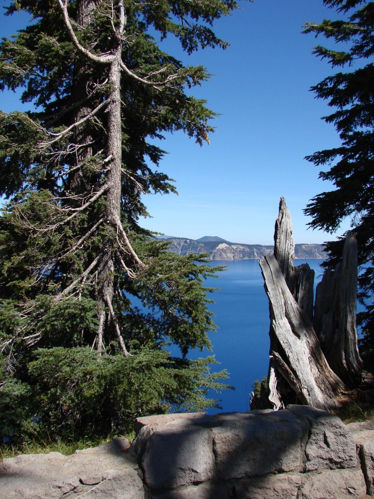
Crater Lake’s water level history represents a remarkable geological narrative spanning thousands of years. From its dramatic formation after Mount Mazama’s collapse to intricate seasonal fluctuations, the lake’s hydrology reveals a complex interplay of precipitation, evaporation, and geological processes. Scientific studies have meticulously tracked its water levels, demonstrating remarkable stability despite significant environmental changes.
What Caused Crater Lake’s Initial Formation?

Crater Lake emerged approximately 7,700 years ago following a catastrophic volcanic eruption that caused Mount Mazama’s collapse. The initial lake formation involved a fascinating geological process:
- Volcanic Collapse: Mount Mazama’s massive eruption created a caldera
- Initial Filling: Lake began filling within decades of the eruption
- Volume Progression:
- 50% of current size: Within 150 years
- 90% of current volume: Approximately 400 years after collapse
How Did Early Water Levels Change?

The lake experienced significant water level variations during its early history:
| Time Period | Water Level Changes | Percentage of Volume |
|---|---|---|
| 0-150 years | Rapid Initial Filling | 50% |
| 150-400 years | Continued Filling | 90% |
| 1,000-year Dry Period | Substantial Volume Loss | 40-80% Reduction |
Factors Influencing Water Level Fluctuations
Several critical factors contribute to Crater Lake’s water level dynamics:
- Precipitation Patterns
- Average annual rainfall: 168 cm
- Snowfall: Approximately 13 meters
-
Crucial for maintaining lake equilibrium
-
Evaporation Mechanisms
- Summer evaporation rates significantly impact water levels
-
Seasonal variations typically range around 4 feet
-
Geological Seepage
- Underground water movement affects overall lake volume
- Contributes to long-term water level stability
What Are the Recorded Extreme Water Levels?
Precise measurements have documented remarkable water level variations:
- Maximum Recorded Level: 6,179.34 feet (March 25, 1975)
- Minimum Recorded Level: 6,163.2 feet (September 10, 1942)
- Total Variation Range: Approximately 16 feet over 100 years
How Do Modern Scientific Methods Track Water Levels?
Contemporary research employs advanced technologies:
- Multibeam Sonar Surveys
- Precise Depth Measurements
- Continuous Monitoring Systems
Current Maximum Depth Measurements
The most recent multibeam survey in 2000 revealed:
– Maximum Depth: 1,949 feet (594 meters)
– Previous Sonar Measurement (1959): 1,932 feet (589 meters)
What Climate Factors Impact Future Water Levels?
Anticipated climate changes may significantly influence Crater Lake’s hydrology:
- Potential shifts in precipitation patterns
- Increased evaporation due to temperature changes
- Long-term geological transformations
Research Challenges
Studying Crater Lake’s water levels presents unique challenges:
– Remote location
– Seasonal access restrictions
– Complex geological environment
Conclusion
Crater Lake’s water level history represents a dynamic geological narrative, showcasing nature’s intricate balance between volcanic formation, environmental processes, and ongoing scientific exploration.

