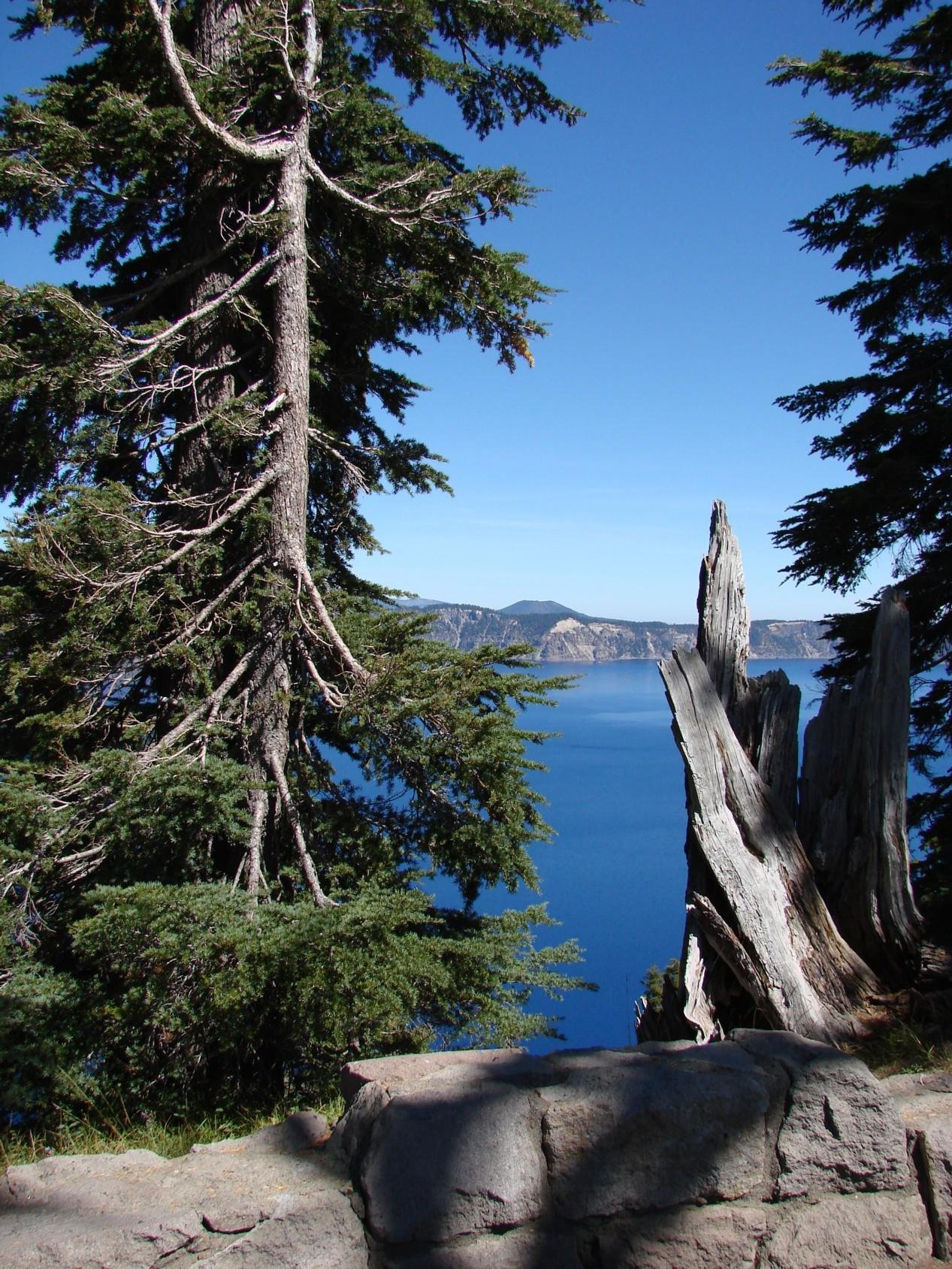
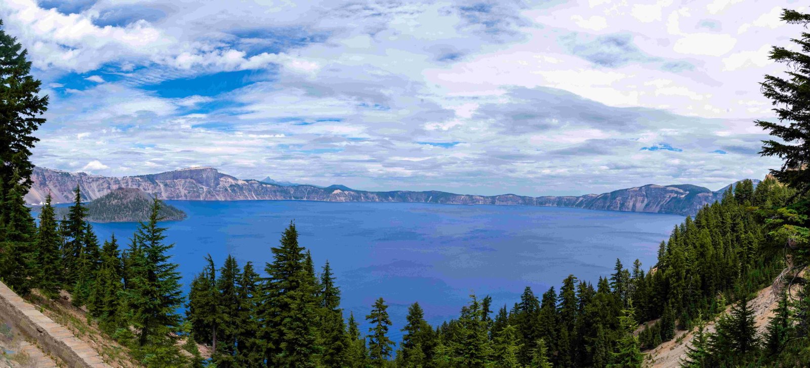
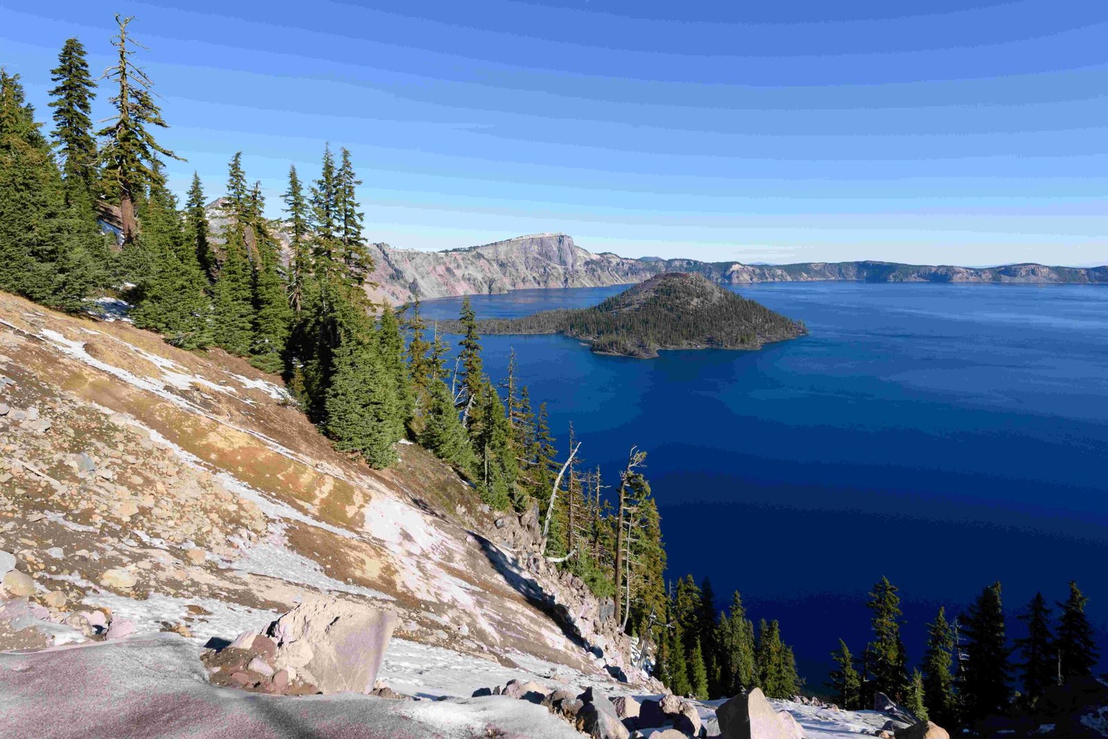
Crater Lake is situated within the High Cascades subprovince of the Cascade Range in Oregon. This unique physiographic region is characterized by large, long-lasting volcanic centers and smaller volcanoes, cinder cones, and lava domes. Crater Lake occupies a caldera formed by the catastrophic eruption and subsequent collapse of Mount Mazama, a composite volcano built over 400,000 years. The caldera, approximately 8-10 km in diameter and 1,200 m deep, was created around 7,700 years ago when Mount Mazama erupted, ejecting about 50 km³ of rhyodacite.
What Are the Geological Characteristics of Crater Lake’s Physiographic Region?

The High Cascades subprovince, where Crater Lake is located, exhibits distinct geological characteristics:
- Active Volcanic Arc: The region is part of the currently active volcanic arc.
- Volcanic Formations: It features large, long-lasting volcanic centers alongside smaller volcanoes, cinder cones, and lava domes.
- Caldera Formation: The catastrophic eruption of Mount Mazama led to the formation of the caldera that now houses Crater Lake.
- Volcanic Materials: The area is composed of andesite, dacite, and rhyodacite from eruptions over 400,000 years.
How Does Crater Lake’s Formation Relate to Its Physiographic Region?

Crater Lake’s formation is intrinsically linked to the volcanic activity characteristic of the High Cascades subprovince:
- Volcanic Build-up: Mount Mazama, a composite volcano, was built over 400,000 years through multiple eruptions.
- Catastrophic Eruption: Approximately 7,700 years ago, a massive eruption ejected about 50 km³ of rhyodacite.
- Caldera Collapse: Following the eruption, the volcano collapsed in on itself, forming the caldera.
- Lake Formation: Over several thousand years, the caldera filled with rain and snow, creating Crater Lake.
What Are the Unique Features of Crater Lake Within Its Physiographic Region?
Crater Lake stands out within its physiographic region due to several unique features:
- Depth: It is the deepest lake in the United States, with a maximum depth of 1,949 feet (594 m).
- Size: The lake spans approximately 5 by 6 miles (8.0 by 9.7 km) across.
- Water Clarity: Known for its exceptional water clarity due to its isolation from incoming streams and rivers.
- Wizard Island: A cinder cone that formed after the caldera’s creation, rising above the lake’s surface.
How Does the Physiographic Region Influence Crater Lake’s Climate and Ecosystem?
The High Cascades subprovince significantly impacts Crater Lake’s climate and ecosystem:
- Elevation: The high elevation (6,178 feet or 1,883 m at the lake surface) influences temperature and precipitation patterns.
- Snowfall: Heavy winter snowfall is common, often exceeding 500 inches (1,270 cm) annually.
- Temperature: Cool summers and cold winters are characteristic of the region.
- Vegetation: The surrounding area supports subalpine and montane forest ecosystems.
What Research Opportunities Does Crater Lake’s Physiographic Region Offer?
Crater Lake’s unique setting within the High Cascades subprovince provides numerous research opportunities:
- Volcanic Studies: Ongoing research into the volcanic history and potential future activity of the Cascade Range.
- Limnology: Studies of the lake’s unique ecosystem, water chemistry, and biological communities.
- Climate Change: Monitoring of long-term climate trends and their effects on the lake and surrounding ecosystems.
- Geological Mapping: Detailed mapping of the caldera and surrounding volcanic features.
How Does the Physiographic Region Affect Visitor Experience at Crater Lake?
The High Cascades subprovince shapes the visitor experience at Crater Lake in several ways:
- Scenic Beauty: The volcanic landscape provides stunning vistas and unique geological features.
- Seasonal Access: Heavy snowfall often limits access to certain areas during winter months.
- Recreational Activities: The region’s topography and climate allow for diverse activities such as hiking, skiing, and boat tours.
- Educational Opportunities: Visitors can learn about volcanic processes, caldera formation, and the unique ecosystem of the lake.
| Season | Typical Activities | Accessibility |
|---|---|---|
| Summer | Hiking, boat tours, scenic drives | Fully accessible |
| Fall | Hiking, scenic drives | Mostly accessible, some road closures |
| Winter | Snowshoeing, cross-country skiing | Limited access, many road closures |
| Spring | Hiking (limited), scenic drives | Gradually increasing accessibility |
What Conservation Efforts Are in Place to Protect Crater Lake’s Physiographic Region?
To preserve the unique characteristics of Crater Lake and its surrounding physiographic region, several conservation efforts are in place:
- National Park Status: Crater Lake was designated as a National Park in 1902, providing federal protection.
- Water Quality Monitoring: Regular testing and monitoring of the lake’s water quality.
- Invasive Species Prevention: Strict measures to prevent the introduction of non-native species.
- Visitor Education: Programs to educate visitors about the fragile ecosystem and the importance of preservation.
- Research Partnerships: Collaboration with universities and research institutions to study and monitor the region.
By understanding and appreciating the unique physiographic region of Crater Lake, visitors and researchers alike can contribute to its preservation for future generations.
References:
1. NPS Geodiversity Atlas—Crater Lake National Park, Oregon
2. Formation of Crater Lake
3. Crater Lake – Wikipedia

